
ICEYE Will Provide Satellite Data to NATO
ICEYE, a world leader in Synthetic Aperture Radar (SAR) satellite operations for Earth observation, has announced it will provide satellite data to the NATO Allied Command Operations (ACO) as a key element of the Alliance Persistent Surveillance from Space (APSS) initiative.

The APSS initiative is a multi-year, multi-domain, multinational initiative that aims to enhance space-based intelligence sharing throughout the Alliance, leading to a more comprehensive and cross-cutting intelligence framework, necessary to inform political decision-making processes and military operations.
Managed by the NATO Communications and Information Agency (NCIA), the initiative will enhance NATO’s overall intelligence through more effective use of space assets, technologies, and data, both government-owned and commercial, increasing the speed at which space data is collected, aggregated, and provided.
Thanks to this collaboration, the ACO will be able to access ICEYE’s capabilities, which will improve its ability to provide better and faster data-based assessments to decision-makers.
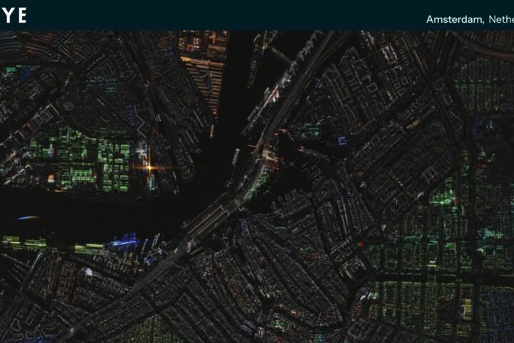
ICEYE’s SAR data is collected day and night and in all weather conditions. This allows persistent monitoring of sea, land, and hard-to-reach locations. The standard time from image acquisition to data delivery is 8 hours, with the ability to provide images in less than an hour in some cases.
The new partnership between ACO and ICEYE will allow NATO to access valuable Earth observation data, thanks to ICEYE’s advanced technology.
ICEYE owns the world’s largest constellation of SAR satellites, offering global access with high revisit frequency and a ground resolution of 25 cm for accurate detection in various conditions. With 54 SAR satellites already launched, ICEYE is committed to providing quality information for NATO and its Allies, contributing to global security and awareness.
Source and image credit: @ICEYE