Leonardo, through e-GEOS, a company controlled by the Italian Space Agency (20%) and Telespazio (80%), will support the Department of Sustainable Development (DoSD) of the Ministry of Environment and Energy Security (MEES) in the creation of the digital twin of the Italian ground, as part of the PNRR M2C4 I.1.1 investment related to the implementation of an advanced monitoring and forecast system.

LiDAR Technology
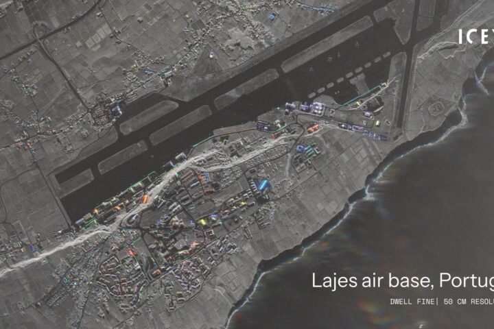
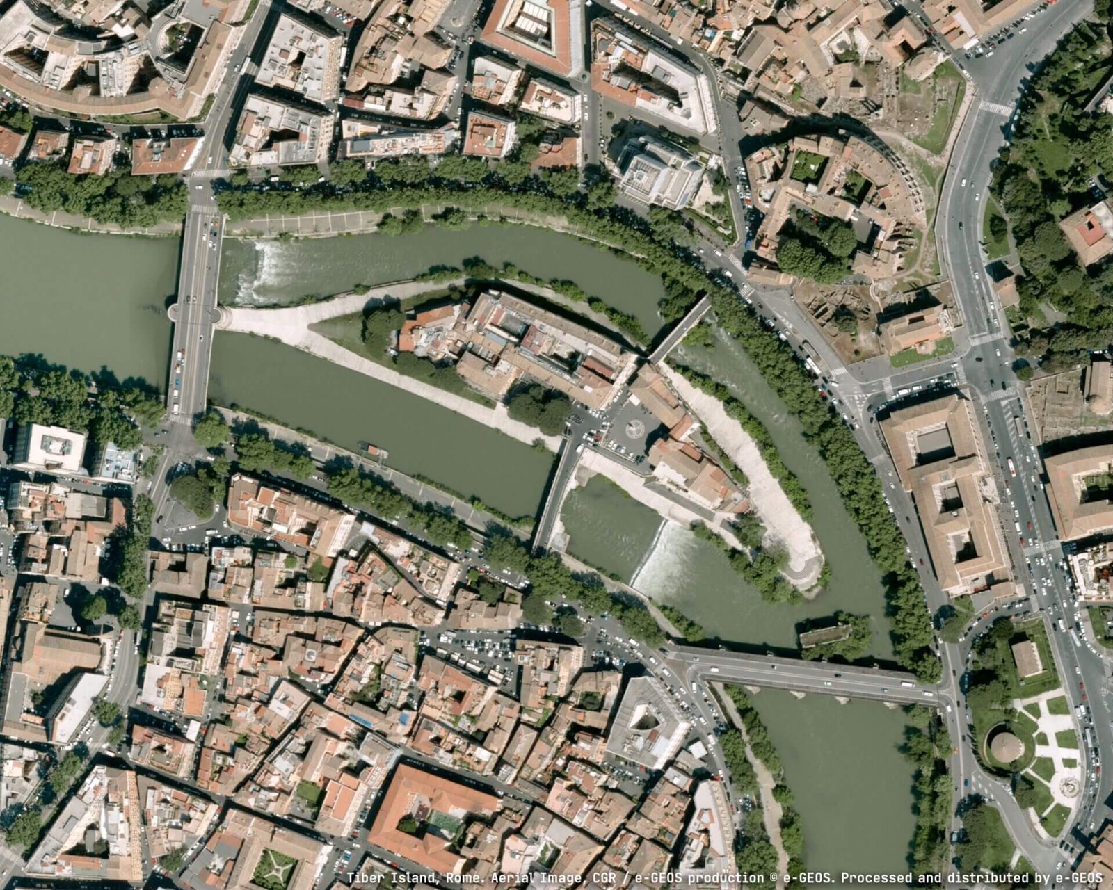
A high-resolution digital model of the terrain, using airborne laser surveys (LiDAR) and aerogravimetric data, will form a strategic component for understanding the morphology of the territory and the basis of future digital twins that can simulate and further study its behavior.
The DiSS project aims to explore the morphological knowledge of Italian territory and the field of gravity at the national level, based on cutting-edge geoinformation solutions and Leonardo’s consolidated experience, a benchmark in the sector for competence and innovative capacity.
In this regard, the reproduction of a model of the entire national territory is considered a foundational step towards a safer and more sustainable Italy thanks to an unprecedented level of precision in understanding the territory and the underground.
The project marks a breakthrough in the integration of digital and geospatial technologies, demonstrating Leonardo Group’s commitment to promote innovative solutions for the country’s security and sustainability.
In addition, the databases capable of satisfying almost total needs for knowledge of the morphology of the territory and the field of gravity at the national level, for all public and private stakeholders, will ensure integration with others previously created and those under construction, promoting free availability for their reuse.
The Interventions
Massimo Claudio Comparini, Managing Director of Leonardo’s Space Division, said, ‘_Leonardo, thanks to its leadership in space, digital, and Earth observation technologies, is heavily committed to developing solutions for the creation of digital twins, integrating data collection, processing, and information extraction with supercomputing, cloud, and artificial intelligence. This strategic project, which brings together innovation, vision, and collaboration between the public, private, and academia, sets the stage for an in-depth and smart knowledge and management of the territory, in support of resilience and sustainability. Leonardo is committed to putting its competence at the service of the country and Europe_.’
Milena Lerario, CEO of e-GEOS, commented, ‘_With this project, e-GEOS, assisted by Leonardo’s vision, offers its experience in managing large volumes of geospatial data to provide a tangible tool to support the country’s environmental and territorial policies. The digital twin of the ground will offer a dynamic and precise representation of the Italian territory, useful for studying its risks and optimizing interventions. It is a technological and operational challenge that we face with great responsibility, alongside our partners, to contribute to a more sustainable and aware Italy_.’
The New Digital Map and the National Gravimetric Database
The map will be created using aerial surveys. Laser technologies (Laser Scanning LiDAR or Light Detection and Ranging) will be used for high-resolution detection of the terrain, infrastructure, and morphology of the soil and surfaces. Aerogravimetric data for the new national gravimetric database will be essential for defining the new geoid model of Italy and to determine the models of the terrain in orthogonal altitudes.
The digital model developed by e-GEOS-led consortium will constitute one of the pillars of the integrated long-term monitoring and surveillance system, supporting territorial planning and environmental protection interventions, vital for the national territory increasingly affected by hydrogeological instability events.
In addition to describing the morphology of the terrain, the model will provide valid support for slope stability analyses and hydraulic modeling, necessary for the demarcation of potential flood areas.
Moreover, the national gravimetric database and the geoid will help improve the accuracy of positioning systems and subsurface analyses, also to identify raw material deposits.
Source and photo credit @Leonardo Press Office