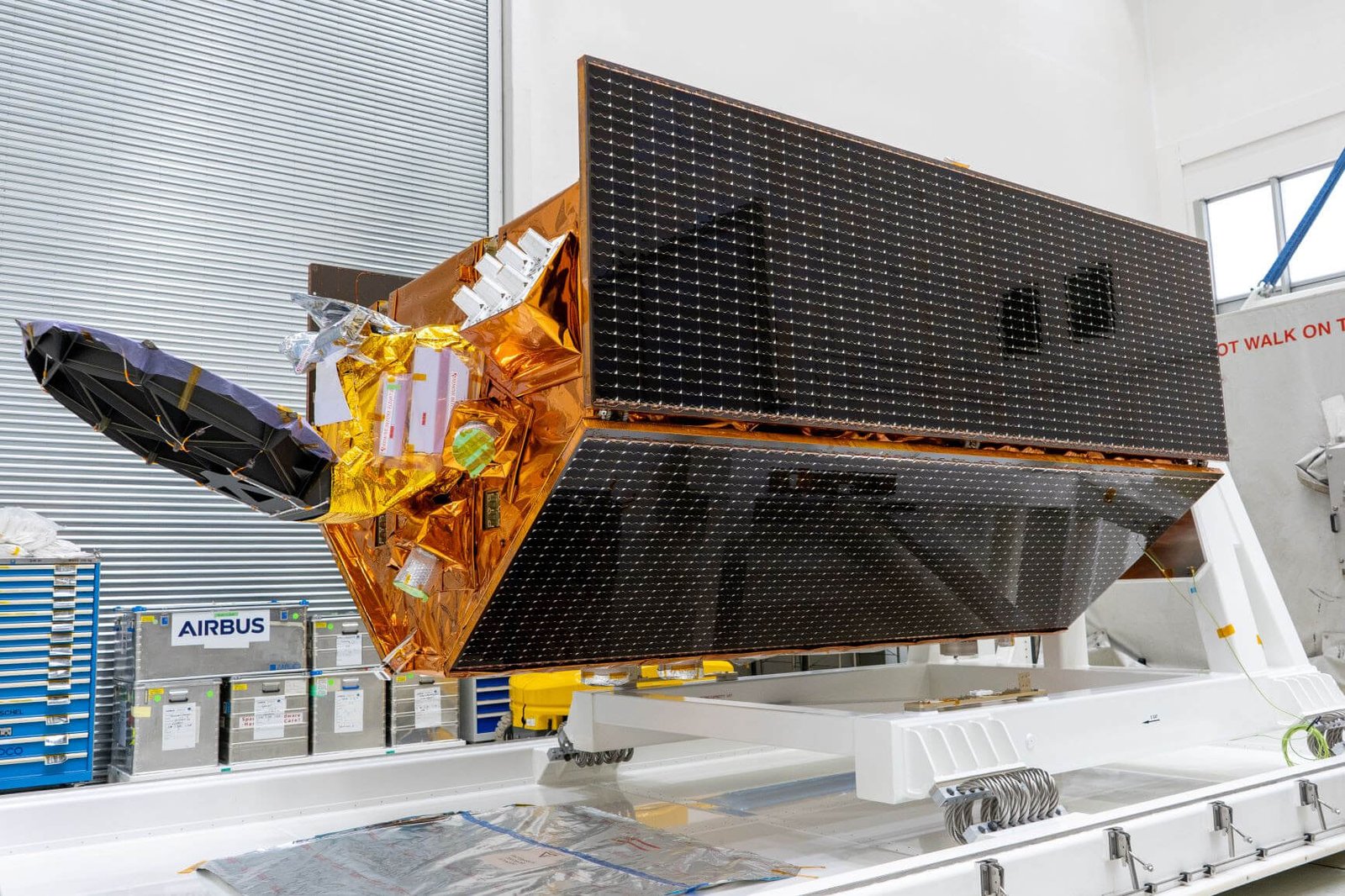
The Sentinel-6B satellite, constructed by Airbus, has been successfully launched from Vandenberg Space Base in California. This is the second of two identical satellites built to continue collecting essential data on sea surface height at least until 2030. The first satellite, Sentinel-6 Michael Freilich, was launched in November 2020.

For its first year, Sentinel-6B will join Sentinel-6 Michael Freilich in orbit, allowing both instruments to collaborate and provide the most accurate data on global sea levels. This information is critical in warning coastal countries of potential dangers and ensuring continuity of ocean weather forecasts.
“The launch of this satellite will play a crucial role in advancing ongoing research, building on the significant progress already achieved. Accurate sea level measurements are valuable data to help protect coastal communities and guide global action on climate,” said Alain Fauré, head of Airbus’ space systems.
Sentinel-6B will carry out high-precision topography work on ocean surface measurements. By sending radar pulses on the ocean surface and recording the time taken for the return, measurements with an accuracy of a few centimetres are allowed. In addition to measuring the global sea level rise and ocean circulation, the satellite will record vertical profiles of atmospheric temperature and humidity.
With the accelerated rise in sea level, Sentinel-6B will ensure the continuity of long-term data records, which are essential in guiding climate adaptation and mitigation strategies and preparing for future impacts.
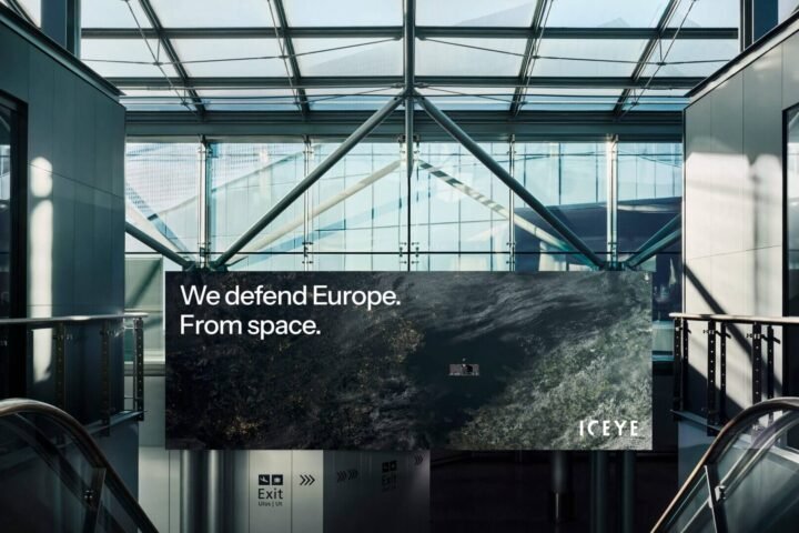
This is one of over twenty climate monitoring initiatives for which Airbus has played the role of main contractor. Overall, these satellites provide essential information on the reality of our constantly evolving planet.
Features of the Sentinel 6-B
The satellite is on a non-heliosynchronous orbit of 1,336 km with an inclination of 66 degrees, so as to fly over places at different times of the day and night, allowing it to measure changes that can vary over the course of 24 hours, like tides. The satellite weighs about 1.3 tons.
The Sentinel-6 mission is part of the European Union’s Copernicus program for the environment. This mission includes two satellites and was developed under the industrial leadership of Airbus.
Even though it’s a European mission, Sentinel-6 demonstrates genuine international cooperation: it was jointly developed by ESA, NASA, EUMETSAT and NOAA, with support from CNES.
Source and photo credit @Airbus Defence and Space